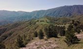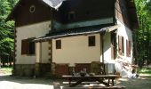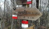

Solitari altopiani nella valle del Bidente
SityTrail - itinéraires balisés pédestres
Tous les sentiers balisés d’Europe GUIDE+

Lengte
44 km

Max. hoogte
1497 m

Positief hoogteverschil
2196 m

Km-Effort
74 km

Min. hoogte
491 m

Negatief hoogteverschil
2211 m
Boucle
Ja
Markering
Datum van aanmaak :
2022-02-15 17:45:28.908
Laatste wijziging :
2022-03-01 21:38:34.349
16h46
Moeilijkheid : Zeer moeilijk

Gratisgps-wandelapplicatie
Over ons
Tocht Te voet van 44 km beschikbaar op Emilia-Romagna, Forlì-Cesena, Santa Sofia. Deze tocht wordt voorgesteld door SityTrail - itinéraires balisés pédestres.
Beschrijving
Trail created by Parco Nazionale Foreste Casentinesi.
Plaatsbepaling
Land:
Italy
Regio :
Emilia-Romagna
Departement/Provincie :
Forlì-Cesena
Gemeente :
Santa Sofia
Locatie:
Unknown
Vertrek:(Dec)
Vertrek:(UTM)
724699 ; 4868257 (32T) N.
Opmerkingen
Wandeltochten in de omgeving
Il Monte Tiravento


Te voet
Medium
Premilcuore,
Emilia-Romagna,
Forlì-Cesena,
Italy

15,6 km | 27 km-effort
6h 6min
Ja

Per vedere la valle del Giardino


Te voet
Gemakkelijk
Santa Sofia,
Emilia-Romagna,
Forlì-Cesena,
Italy

11,8 km | 19,7 km-effort
4h 28min
Neen
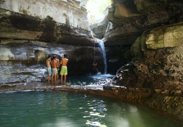
I Monti Gemelli


Te voet
Medium
Premilcuore,
Emilia-Romagna,
Forlì-Cesena,
Italy

16,9 km | 30 km-effort
6h 42min
Ja

IT-317


Te voet
Gemakkelijk
Premilcuore,
Emilia-Romagna,
Forlì-Cesena,
Italy

3,4 km | 4,9 km-effort
1h 6min
Neen
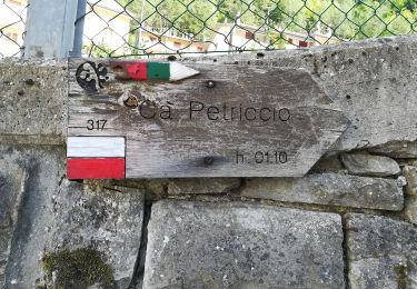
IT-R6


Te voet
Gemakkelijk
Premilcuore,
Emilia-Romagna,
Forlì-Cesena,
Italy

3,6 km | 8,5 km-effort
1h 56min
Neen
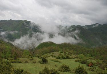
Un panoramico doppio anello sul Bidente delle Celle


Te voet
Medium
Santa Sofia,
Emilia-Romagna,
Forlì-Cesena,
Italy

17,9 km | 28 km-effort
6h 18min
Ja
Da Corniolo un anello per Valpisella e Passo Braccina


Te voet
Gemakkelijk
Santa Sofia,
Emilia-Romagna,
Forlì-Cesena,
Italy

10,4 km | 17,4 km-effort
3h 57min
Ja
Il selvaggio Poggio Montironi


Te voet
Gemakkelijk
Santa Sofia,
Emilia-Romagna,
Forlì-Cesena,
Italy

11,2 km | 19,5 km-effort
4h 25min
Ja
IT-R4I


Te voet
Gemakkelijk
Premilcuore,
Emilia-Romagna,
Forlì-Cesena,
Italy

6,3 km | 11,9 km-effort
2h 42min
Neen


 SityTrail


